
Engineering Systems
A comprehensive suite of geotechnical and geological systems designed to deliver high-fidelity ground models and stability solutions for critical infrastructure.
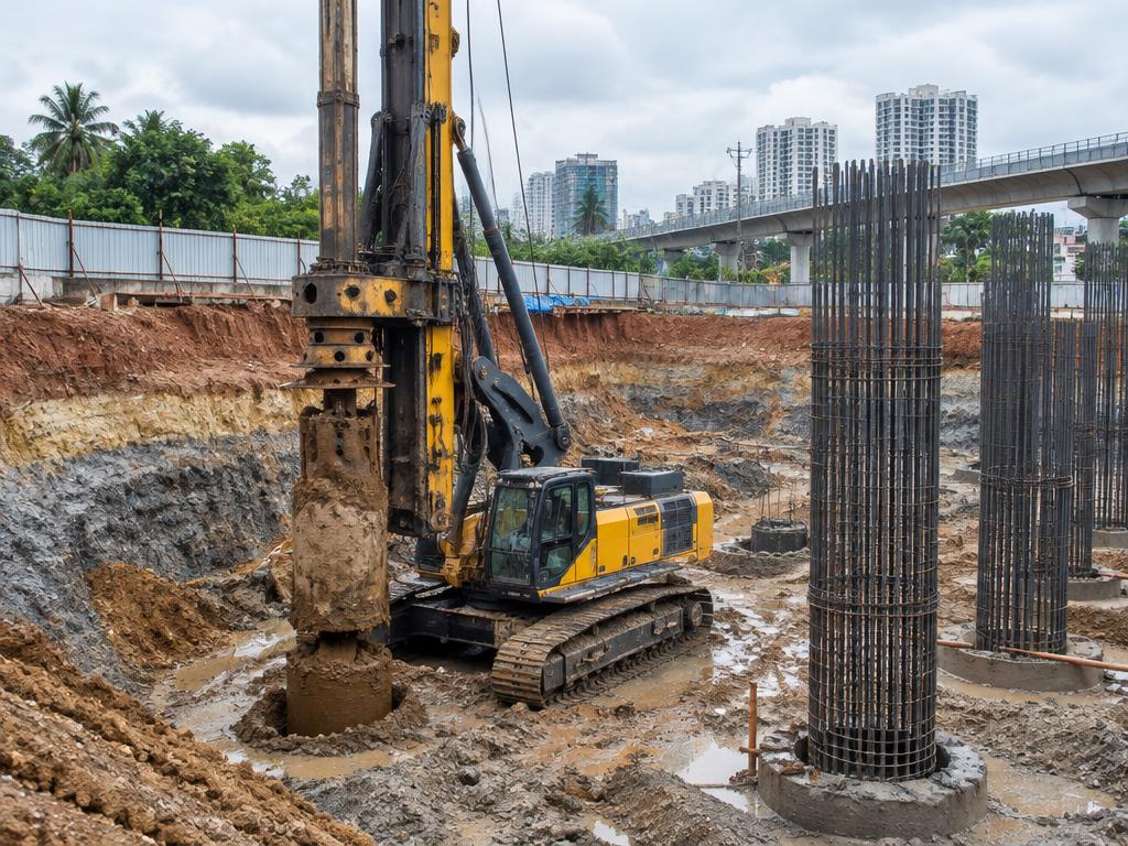
Geotechnical Engineering
Deep Foundation Diagnostics, Advanced Slope Stability, and High-Fidelity Structural Analytics.
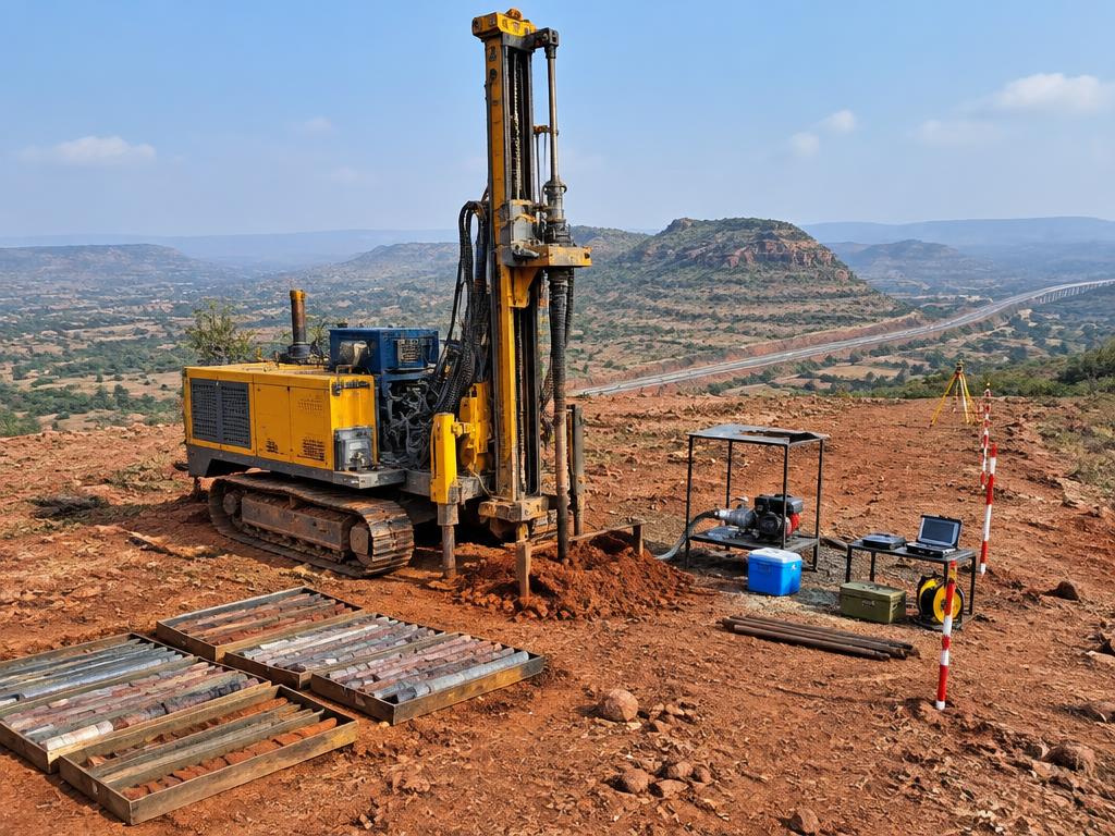
Site Characterization
NABL-Accredited Borehole Forensics, Undisturbed Sampling, and Geophysical Mapping.
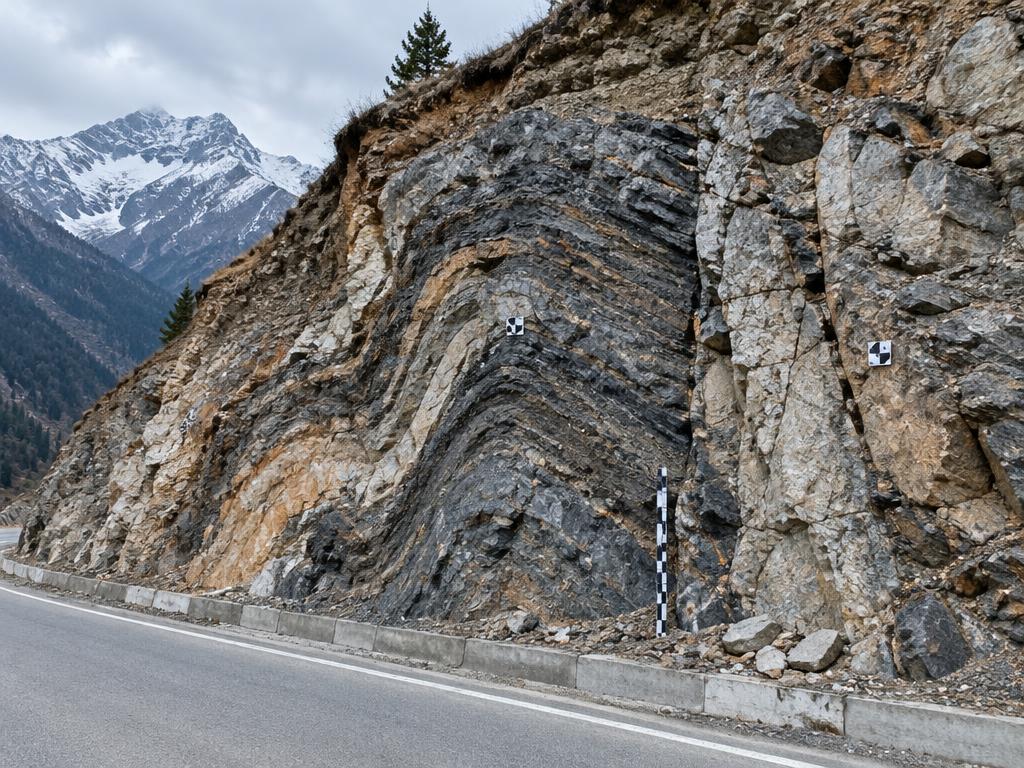
Engineering Geology
Macro-Geological Mapping, Seismic Risk Qualification, and 3D Subsurface Modeling.
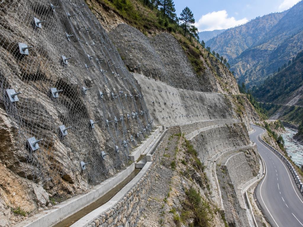
Slope Stability & Protection
Predictive Modeling, Stabilization Architecture, and Landslide Mitigation Networks.

Advanced Laboratory Testing
NABL-Certified Material Diagnostics in collaboration with premier IIT institutions.
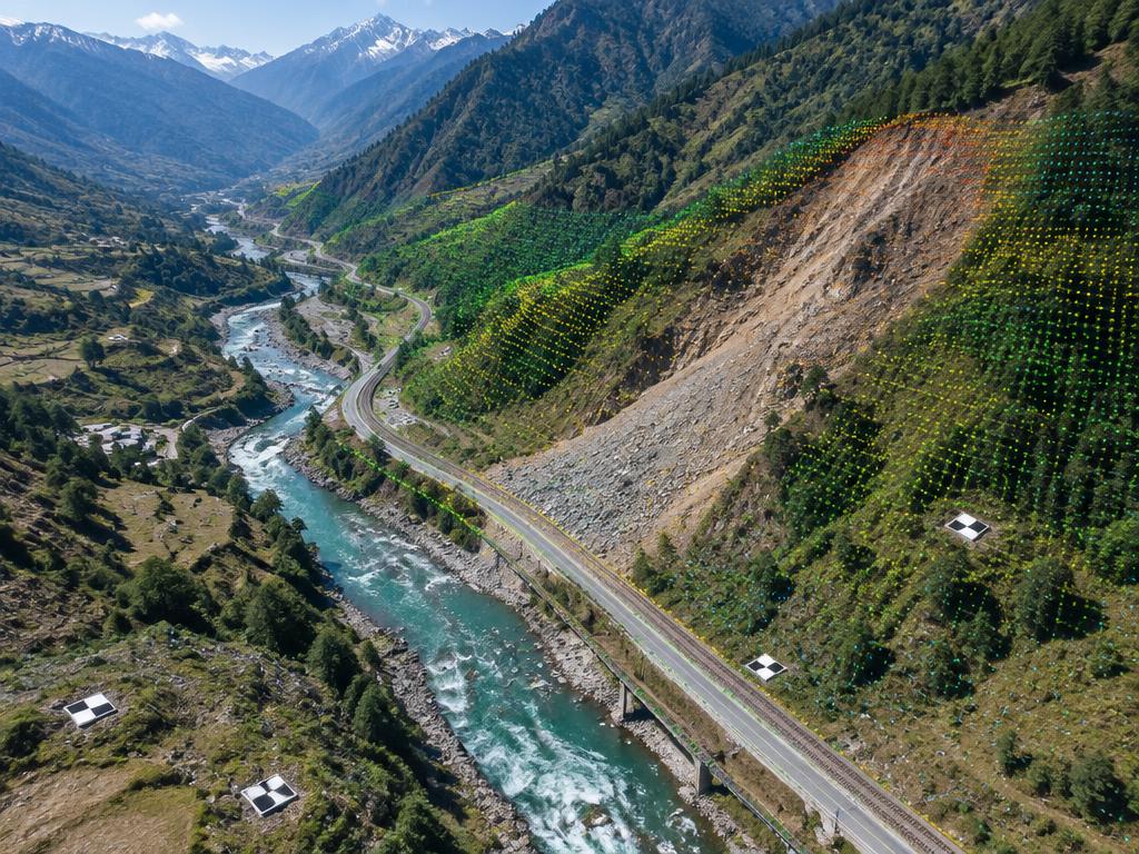
Remote Sensing & Spatial Intelligence
LiDAR Integration, Regional Hazard Zonation, and Spatial Multi-Criteria Algorithms.
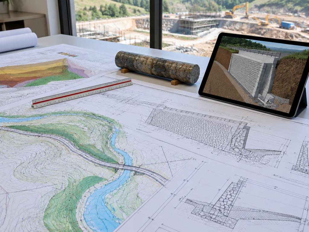
Execution Blueprints & Design
Good for Construction (GFC) Drawings, BIM Integration, and Structural Detailing.

Sustainable Engineering & EIA
Environmental Impact Assessments (EIA), Ground Contamination Forecasting, and Green Infrastructure.
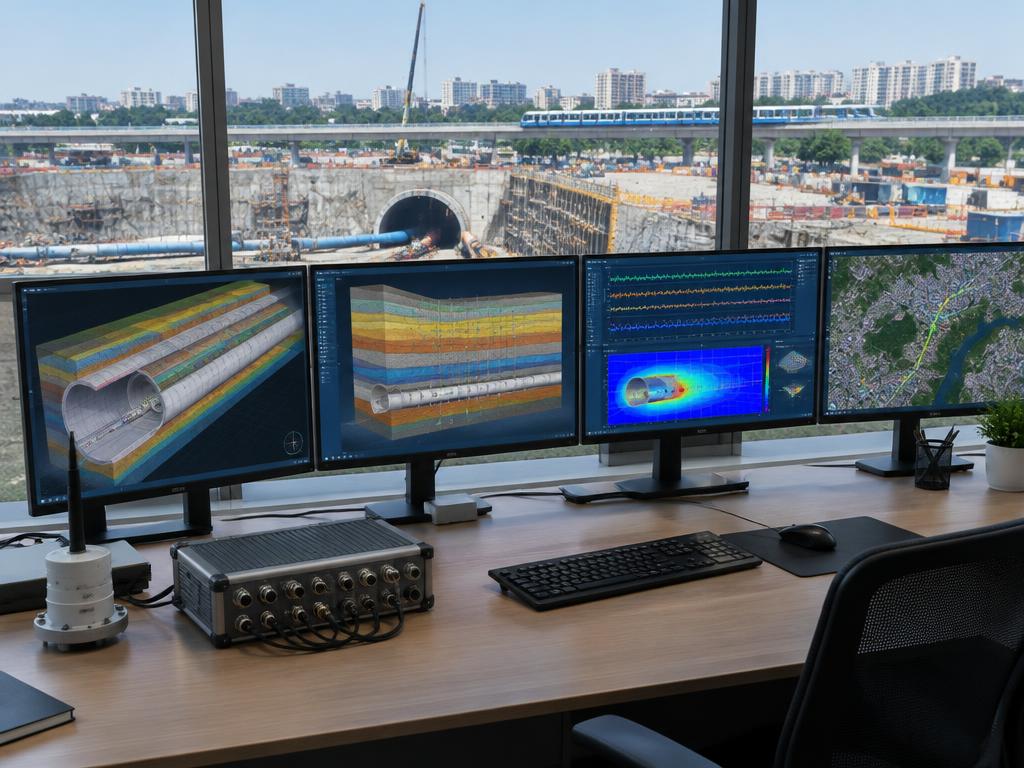
Engineering Digital Twins
Proprietary Geotechnical Algorithms, Real-Time Dashboards, and Predictive AI.
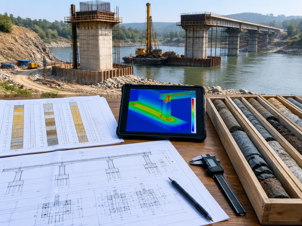
Independent Verification & Auditing
Executive Peer Review, Value Engineering, and Risk Audits for Geotechnical Designs.
Investigation & Modeling Principles
Precision Investigation
Our in-situ testing systems, SPT correlations, and geophysical profiling minimize sub-surface uncertainty before foundation excavation.
Numerical Modeling
Advanced FEM, FDM, and Limit Equilibrium simulations characterize soil-structure interactions under static and dynamic seismic loads.
Hazard & Risk Mitigation
Every system identifies fault zones, slope instability, and hydrogeological risks to prevent cost overruns and construction delays.